Little Navmap User Manual
Translate this user manual on the fly into your language using Google Translate.
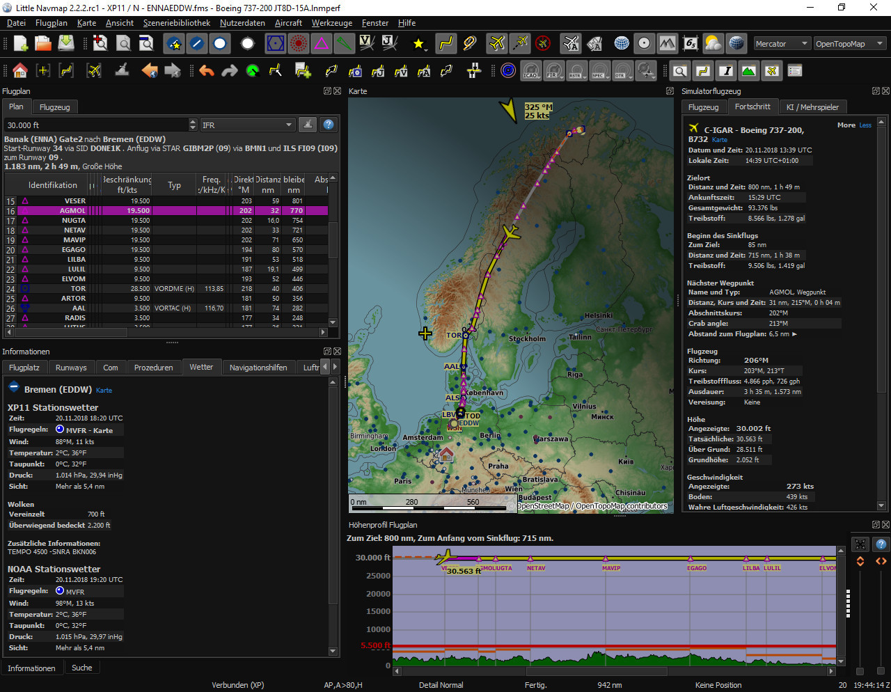
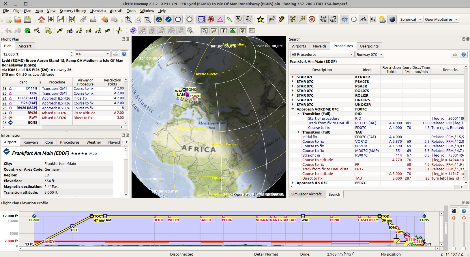
Little Navmap is a free open source flight planner, navigation tool, moving map, airport search and airport information system for Flight Simulator X, Flight Simulator - Steam Edition, Prepar3D v3 to v5, Microsoft Flight Simulator 2020, Microsoft Flight Simulator 2024, X-Plane 11 and X-Plane 12.
More about my projects at www.littlenavmap.org. Support forum at AVSIM.
You can get the latest version of this manual in different formats from here: User Manuals
Do not use this program for real world navigation.
This user manual is for Little Navmap versions 3.0.


Table of Contents
- 1. Acknowledgments
- 2. Donations
- 3. Installation
- 4. Start
- 5. Quick Overview
- 6. User Interface
- 6.1. Terms
- 6.2. File Associations
- 6.3. Drag and Drop Files
- 6.4. Dock Windows
- 6.5. Tabs
- 6.6. Toolbars
- 6.7. Statusbar
- 6.8. Disabled Buttons and Menu Items
- 6.9. Warning and Error Messages
- 6.10. Tables
- 6.11. Trees
- 6.12. Context Menus
- 6.13. Shortcuts in Menus
- 6.14. Menu Buttons
- 6.15. Tooltip Help, Help Buttons and Help Menu
- 6.16. Window Title
- 6.17. Information and Simulator Aircraft Text
- 6.18. Activating and raising Windows and Tabs
- 6.19. Tear off Dropdown Menus
- 6.20. Links
- 6.21. Copy and Paste
- 6.22. Translation and Locale
- 6.23. Map Legend
- 6.24. Airport Rating
- 7. Dock Windows
- 8. Tabs
- 9. Main Menu and Toolbars
- 10. Statusbar
- 11. Directories
- 12. GLOBE Offline Elevation Data
- 13. Map Display
- 13.1. Map Layers
- 13.2. Moving
- 13.3. Mouse Clicks
- 13.4. Mouse Click Hotspots
- 13.5. Mouse Clicks and Modifier Keys
- 13.6. Mouse Wheel and Modifier Keys
- 13.7. Aircraft
- 13.8. Overlays
- 13.9. Tooltips
- 13.10. Highlights
- 13.11. Flight Plan
- 13.12. Airport Diagram
- 13.13. Declutter
- 13.14. Map Projection
- 13.15. Map Themes
- 13.16. Context Menu Map
- 14. Map Legend
- 14.1. Mouse Clicks
- 14.2. Key Commands
- 14.3. Highlights
- 14.4. Logbook Preview
- 14.5. User Features
- 14.6. Compass Rose
- 14.7. Aircraft and Ships
- 14.8. Airports
- 14.9. Airport Diagram
- 14.10. Navaids
- 14.11. Flight Plan
- 14.12. Procedures
- 14.13. Elevation Profile
- 14.14. Airport Traffic Pattern
- 14.15. Holding
- 14.16. MORA Grid
- 14.17. Airport Weather
- 14.18. Winds Aloft
- 15. Aircraft Trail
- 16. Traffic Patterns
- 17. Holdings
- 18. Minimum Sector Altitude
- 19. Compass Rose
- 20. Sun Shading
- 21. Map Image Export
- 22. Jump to Coordinates
- 23. Measure Distance
- 24. Range Rings
- 25. Elevation Profile
- 26. Search
- 26.1. Text filters
- 26.2. Airport and Navaid Ident Text filters
- 26.3. Tri state checkboxes
- 26.4. Menu Button
- 26.5. Distance search
- 26.6. Random Flight in Airport Search
- 26.7. Ident and Names in Airport Search
- 26.8. Country, State/Province and City in Airport Search
- 26.9. Override in Airport Search
- 26.10. Search Result Table View
- 26.11. Top Buttons
- 26.12. Context Menu Search
- 27. Random Flight Generation
- 28. Search Procedures
- 29. Userpoints
- 30. Logbook
- 31. Online Networks
- 32. Information
- 33. Flight Planning
- 34. User Aircraft Centering
- 35. Map Flight Plan Editing
- 36. Procedures
- 36.1. General
- 36.2. Set Departure Runway and Set Destination Runway
- 36.3. Inserting a Procedure into a Flight Plan
- 36.4. Deleting a Procedure from a Flight Plan
- 36.5. Limitations when editing a flight plan with procedures
- 36.6. Flying Procedures
- 36.7. Special Leg Types
- 36.8. Fix Types in a Procedure
- 36.9. Altitude and Speed Restrictions
- 36.10. Related Navaids
- 36.11. Missed Approaches
- 36.12. Leg Highlights on the Map
- 36.13. Invalid Data
- 37. Departure and Destination Runway
- 38. Select Start Position
- 39. Runway Selection
- 40. Tracks
- 41. Edit Flight Plan Position
- 42. Edit Flight Plan Remarks
- 43. Flight Plan Calculation
- 44. Flight Plan Route Description
- 45. Flight Plan Formats
- 46. Flight Plan Multiexport
- 47. Flight Plan Online Network Export
- 48. Open Flight Plan from SimBrief
- 49. Export Flight Plan to SimBrief
- 50. Aircraft Performance
- 51. Aircraft Performance Edit
- 52. Aircraft Performance Collection
- 53. Aircraft Performance Merge
- 54. Load Scenery Library
- 55. Loading Airspaces
- 56. Navigation Databases
- 57. Connecting to a Flight Simulator
- 58. Options
- 58.1. Options Pages
- 58.2. Options Search
- 58.3. Options Hints
- 58.4. Startup and Updates
- 58.5. User Interface
- 58.6. Display and Text
- 58.7. Units
- 58.8. Files
- 58.9. Map
- 58.10. Map Tooltips and Clicks
- 58.11. Map Navigation
- 58.12. Map Display
- 58.13. Map Flight Plan
- 58.14. Map Aircraft Trail
- 58.15. Map User
- 58.16. Map Labels
- 58.17. Map Keys
- 58.18. Map Online
- 58.19. Simulator Aircraft
- 58.20. Flight Plan
- 58.21. Weather
- 58.22. Weather Files
- 58.23. Online Flying
- 58.24. Web Server
- 58.25. Cache and Files
- 58.26. Scenery Library Database
- 59. Window Layout
- 60. Weather
- 61. Printing
- 62. Reset all for a new Flight
- 63. Updates
- 64. Running without Flight Simulator Installation
- 65. Web Server
- 66. Tutorials
- 67. Tutorial - Building a VFR Flight Plan
- 68. Tutorial - Building an IFR Flight Plan with Approach Procedures
- 68.1. Prepare Flight
- 68.2. Default Aircraft Performance
- 68.3. Cleanup Search
- 68.4. Assign Departure
- 68.5. Search for Destination
- 68.6. Select an Approach Procedure
- 68.7. Calculate a Flight Plan
- 68.8. Airspaces
- 68.9. Saving
- 68.10. Flying
- 68.11. Top of Descent
- 68.12. Changing Procedures
- 68.13. Going Missed
- 69. Tutorial - Creating an Aircraft Performance Profile
- 70. Issue Report
- 71. Crash Report
- 72. Coordinate Formats
- 73. Magnetic Declination
- 74. Remarks
- 75. Keyboard Shortcuts
- 76. Network Setup
- 77. Little Xpconnect
- 78. Customize
- 79. Map Themes
- 80. Files
- 81. Tips and Tricks
- 82. Portable Execution
- 83. Command Line Options
- 84. Appendix
- 85. Glossary
- 86. License
This manual was created using Sphinx and the Read the Docs Sphinx Theme on Kubuntu Linux. PDF and MOBI formats converted using Calibre. The sources of this manual are available on GitHub.